


 The view of Yosemite Valley from Tunnel View
The Sacramento Bike Hikers held the 7th edition of the Tour de Yosemite from May 2nd - 7th. The timing couldn't have been better with persistent spring rains taking a hiatus during the week of the tour. We were blessed with mostly sunny, clear skies and mild temperatures.
Early May is prime-time to visit Yosemite. With the snowpack 143% of normal this winter, the falls were cranking, the flora were green and blooming, and the traffic and crowds minimal . . . for Yosemite standards that is.
The well organized and supported 5 day tour, led by Hazi Alwan and Steve Cimini, started at the Sacramento Amtrak Train Station where 27 cyclists caught the San Joaquin train to Merced. The logistics for the tour was handled with adroitness.
About 30 bikes were loaded onto and inside Steve's truck and trailer. He hauled the bikes down to Merced and met the riders at the station. The riders then swapped luggage for the bikes and rode 50 hilly miles to Mariposa where Steve met us at the Super 8 with all our gear. Now, that's what you call exceptional service.
On the 2nd day, we rode 25 miles to Cedar Lodge, near El Portal, our accomodations for the next three nights. The riders then had the option of hiking, relaxing, or going for more rides on the two layover days.
The Yosemite trip has two blog entries -
The Bicycle Tour
Yosemite Falls Hike
For enlarged view, click twice on pic
 John Muir statue at the new visitor center
 Unloading the bikes at the Merced Amtrak Station. We stashed our gear into the trailer where Steve hauled it to each motel.
 Our two intrepid leaders, Steve Cimini (L) and Hazi Alwan (R) giving us our daily briefings, maps and route sheets
 Group photo of the riders
 Herb leading the pack across the Merced River
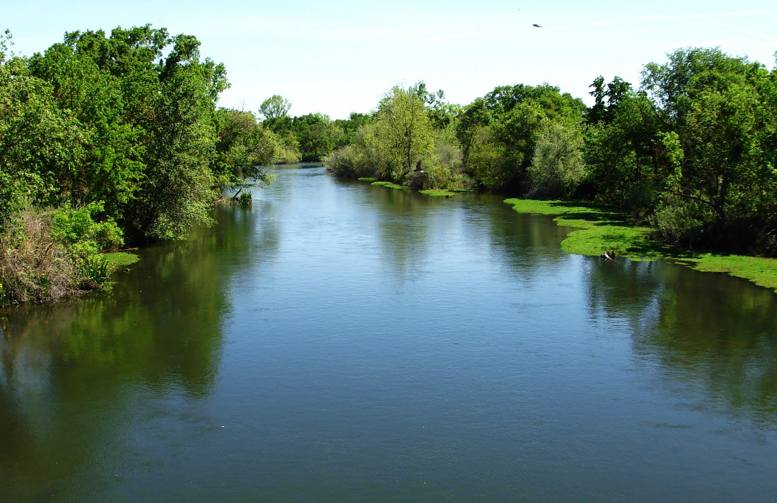 Crossing the beautiful Merced River
 Checking out historic St. Catherine's Chapel in Hornitos
 Stone buttresses and foundations were added in the late 1800's to stabilize the chapel
 Boothill behind the Chapel
 Lunch stop in Hornitos
 Gordy V disappearing around the corner
The big, long climb on Old Toll Road (above and below)
 Chasing Steve Anderson up Old Toll Road
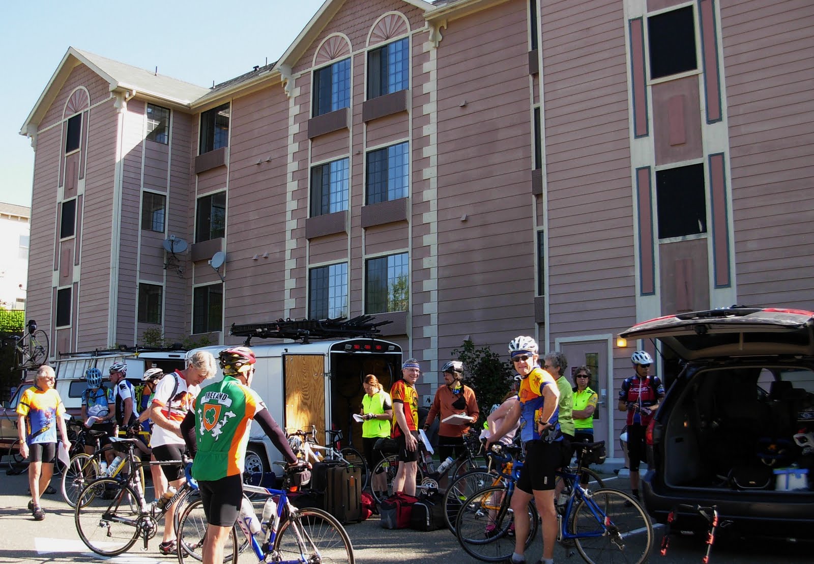 Our first night's lodging - Super 8 in Mariposa
 The 9 mile swooping descent on Hwy 140 down to the Merced River after cresting Mid-Pines Summit
 Lunch stop at Briceburg on the banks of Merced River
 Beth and Sarah
Rest stop with a splendid view
 Time to cool my heals
 Truckin' up Hwy 140 along the Merced River
 El Portal is the terminus for the historic Yosemite Valley RR which brought passengers from Merced to Yosemite. Tourists transferred to horse drawn wagons for the remaining leg into the Park. When the all weather road was completed into the Park in 1926, passenger train service ceased to exist.
 The raging Merced River tumbles 2,000' from the Valley floor down to El Portal
 Posing in front of the Park entrance sign - Ron, Sandy, Peggy, Sarah, and Tracy
 The rest of the gang
 The tumultuous Merced River (above and below)
 Herb and Ron taking a break on the 8% grade into the Park
 Patti B coming around the bend
 John N grinding up the grade
 Checking out Cascade Falls, the first inside the Park. The ambient air drops 20 degrees when standing near the waterfall.
 First glimpse of Cathedral Rocks
 Two views of Bridalveil Falls (above and below)
 Ribbon Falls (above and below)
 Two views of El Capitan (above and below)
 It seems like each day we enter the Park, the river keeps getting higher and faster from the melting snow. Amazing white-water and thunderous roar.
 Gordy V and me at Tunnel View Point on Wawona Highway (Hwy 41)
 Bridalveil Falls seen from Tunnel View
 The shape of Half Dome looks like my tear drop trailer
 Tenaya Creek below Mirror Lake, Mt. Watkins to the left
 Kickin' back at Mirror Lake - Sandy, Sarah, Gordy V
 Mirror Lake
 Mule deers grazing below Royal Arches
 Royal Arch Cascade Falls behind Ahwahnee Hotel
 Views of the grand Ahwahnee Hotel
 Lobby
Lobby Dining Hall
 Early morning at Cedar Lodge
Each morning the bike club provides a nice continental breakfast
 Last day - gliding along Merced River to Mariposa on 2-3% descent
 Steve A is all smiles
 The pelaton
 Herb, Tim, Roger, Gordy, and me
Lunch at Happy Burger Diner in Mariposa (above and below)

 Another nice touch - Steve provides racks and locks for our bikes at the Diner
 Sandy and wildflowers on Old Highway
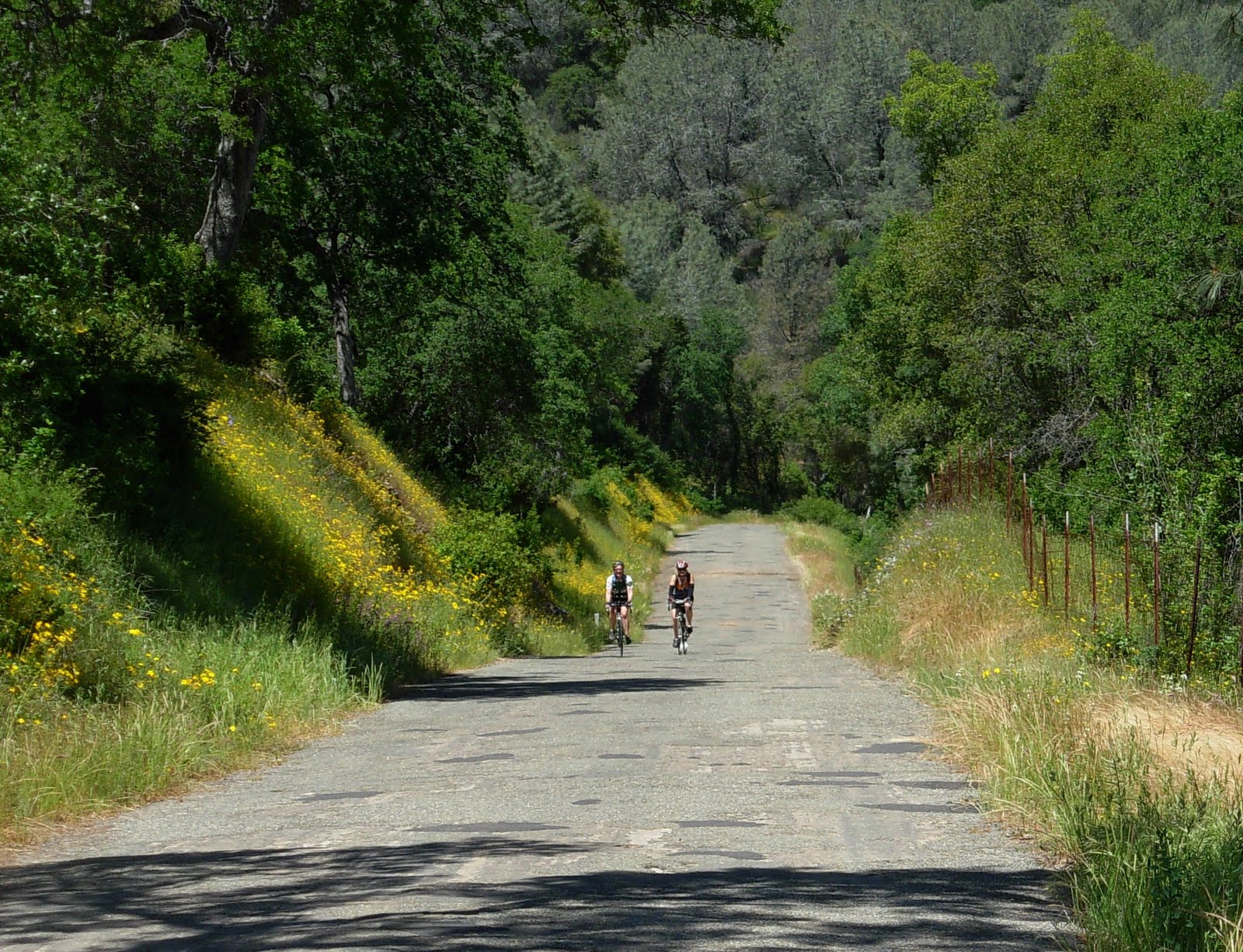 Plenty of potholes and wildflowers on the Old Highway
 Descending into the "Big Valley"
 Steve's truck and trailer needing new suspension as he rambles over the "patchholes"
 Last rest-stop before we hit Hwy 140 for final miles into Merced
 Sweeping into the last rest-stop
 Sweet Beth slicin' and dicin' the watermelon
 Shon orders a small slice
End of the tour dinner at Carrows. Thanks again Hazi and Steve for a great tour!
Click on "Older Posts" below to see Yosemite Falls Hike blog
2 comments:
Geno - great pics and great trip! It was a pleasure getting to know you and riding with the whole gang!
-John N
Geno - great pics and great trip! It was a pleasure getting to know you and riding with the whole gang. - John N
Post a Comment