Starting in Sacramento, I plotted a route on obscure back-country roads (see blue route on above map) through the Central Valley foothills to Kings Canyon National Park.
The final destination was Hanford where members could take the San Joaquin Amtrak Train back to Sacramento (this leg not shown on map).
The total riding distance was 418 miles which crossed seven major watersheds - Consumes, Mokelumne, Stanislaus, Tuolumne, Merced, Fresno and Kings Rivers and untold number of smaller creeks and river forks.
The climbing over undulating terrain totaled 24,463 feet. Our average daily mileage was around 52 miles with the shortest day, 23 miles and longest, 76 miles.
To be honest, this was a challenging route and not for the weak or faint-of-heart. There were many steep tough climbs. We experienced extremes of temperatures with the Valley in the high 80's to low 90's and night-time temps in Kings Canyon at elevation 6500', in the low 30's.
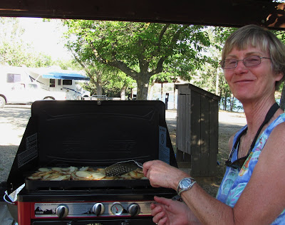
Were it not for Wendy's superb cooking fueling our bodies and the benefit of Bob Anderson's sag truck hauling cold drinks and food, the tour would have been a near impossibility.
Due to the unique nature of this catered tour, we dubbed this The Tour-de-Licious.
Note: For enlarged view of photo, click on first photo and scroll through the album at bottom of page.
There are two blog entries - Part 1 and 2. Click on "older posts" at bottom of this page to continue to Part 2 of Tour. |


1 comment:
Great looking food! What a way to go.
Post a Comment