


 Mt. Shasta at sunset
The Sacramento Wheelmen held a brand new Zodiac (monthly multi-day tour) in the spectacular region surrounding Mt. Shasta in Siskiyou County. With late spring storms, the surrounding mountain ranges - Marble, Scott, Siskiyou, Trinity, and Cascade were ringed with snow.
The 14,162' Goliath - Mt. Shasta had a deep mantle of snow - and it's ominous presence was mesmerizing. This massive white snow cone of a mountain was constantly coming into view and your eyes were drawn to it like a magnet as you rode around the country-side.
Daily rides over a 5-day period included challenging climbs into the surrounding mountains and pastoral ranch-land valleys. Gushing streams and rivers, cascading waterfalls and pristine lakes, flowering dogwoods and wildflowers, rustic barns and homesteads in picturesque valleys, vistas of snow-capped peaks, long climbs, steep descents and meandering rollers are reasons why this region is called Superior California.
For the most part, the conditions of the roads were excellent and low trafficked. Cycling really doesn't get any better than this.
Dale Johnson and Dennis King, co-ride leaders, did an impressive job of offering many options and a variety of scenic routes. I joked that this zodiac was like a Death Ride Boot Camp with the major rides totaling more than 252 miles and ascending 20,440'.
The following photos highlight our rides over the 5-day period of June 21-25.
For expanded view, click on pic twice
 Dale Johnson, the head-honcho, ran a tight ship
 Fifteen members participated in the new Zodiac
 Musubi, my teardrop trailer, home for 5 nights
Most of the members camped at the Mt. Shasta KOA
 Mighty "Mo" Kemp, newly retired from her state job is resurrecting her biking life-style after a 7 year hiatus
 First night was cold but it warmed up nicely over the next 4 days
Mo and Dennis King at Lake Siskiyou with Mt. Eddy range on the horizon
 Magical and mystical Mt. Shasta as viewed across Lake Siskiyou
 Dogwoods were in bloom at around the 4,000' elevation
 Black Butte and Mt. Shasta viewed from Castle Lake Road
 Climbing Castle Lake Rd. to one of the best views of Mt. Shasta, elev. 5000'
 Hee Haa!! . . . cresting our first big climb, a 7 mile climb to Castle Lake
 Castle Lake at 5300' is half frozen
 Omnipresent Mt. Shasta at every turn
 Black Butte from I-5
 North Pinnacle, on the Trinity Divide, is the highest point in Castle Crags Wilderness
 Climbing Edgewood Rd. to Weed after looping through a beautiful valley
 Jeannie Ennis proudly wears her Triple Crown jersey
 Bob Barker another java-junkie
 Ed Delano and Mo
 Stopping for a cup-o-joe
 Tom Gardner leading the group on Old Stage Rd.
 Dale Johnson swoops by
 Riding by Black Butte
 Mt. Shasta looms over many roads
 A couple rustic barns with spectacular backdrops (above and below)
 Riding along the rip-roaring So. Fork of the Sacramento River on W. A. Barr Rd.
 Bob and Dale grinding to the turn-around point
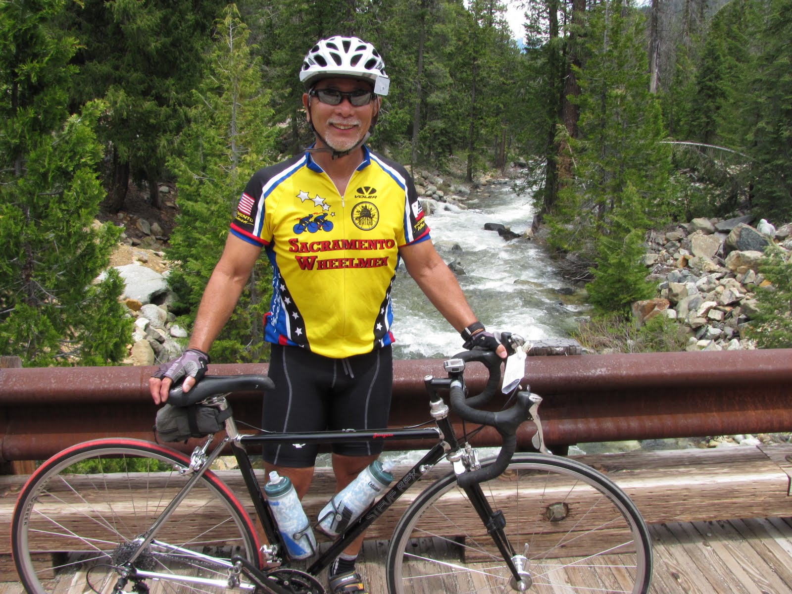 Taking a break on a bridge over the S. Fork
 Bob, Jim Farrell, Dale and Tom
 On the 3rd day, we did a 84 mile loop over Forrest Mtn. Summit into Scott Valley, Callahan, and returning over Gazelle Summit to Yreka
 Jeannie summiting Forrest Mtn.
 Up and over into Scott Valley (above and below)
 Pastoral Scott Valley and Marble Mtns.
 Meandering along Eastside Rd. in Scott Valley
 Another view of Scott Valley and Marble Mtns.
 Dredger tailings on Scott River near Callahan
 Stopping and checking out Historic Callahan
 Most of Callahan is abandoned
 The only viable business - tiny market and bar
 Taking five before heading toward Gazelle Summit
 Riding through scenic alpine valley on Callahan-Gazelle Rd. surrounded by Trinity Mtns.
 Small homestead in spectacular valley
 Heading toward Gazelle Mtn Summit
 Wild iris' growing along fence line
 Unique red iris with blue . . . a nice pair
 Bob swooping down Gazelle Summit, elev. 4921'
 Sweeping switch-back 2000' descent into Shasta Valley
 View of Shasta Valley from summit
 View of northside of Mt. Shasta from Gazelle
 Middle Falls of McCloud River
On the 4th day, we take a 60 mile RT ride to McCloud and visit several waterfalls off Hwy 89
 Diane, Scott, Dale and Hal at waterfall overlook
 Weather at Mt. Shasta is very changeable . . . clouds suddenly move in
 Affable George Neill talks with visitor at waterfall overlook
 Upper Falls of McCloud River
 Many smooth potholes created by rushing water (above and below)
 A natural hot-tub
 A section of Hwy 89 was oiled for resurfacing. Pete Becker's tire gained a new layer of rubber.
 Stopping off in downtown McCloud for lunch
McCloud, a former lumber town, is now a popular tourist town with many bed and breakfast inns, shops, and tidy neighborhood.
 Neat log Catholic Church
 View of Castle Crags
On the 5th day, we ride up Everett Memorial Hwy to the top of Mt. Shasta
 Close-up view of Castle Crags from Mt. Shasta
 A Wowzer Moment!
About 9 miles up, you come around the corner and BOOM! . . . the big mamba jumps out at you.
 Awesome amount of snow!
Close-up view of Avalange Gulch, Red Bank, and Misery Ridge (middle of mt.), the most popular climbing route to the summit
 Parking lot at Bunny Flat, elev. 6950', packed with climbers
 Heck with it, let's walk the last 3 miles!
End of the line - snow blocks road to top at Bunny Flat
 Bob and Dennis at the end of the line
 Great view of The Eddys, elev. 9025' (above and below) as viewed on descent from Mt. Shasta
 Black Butte, elev. 6325', on the descent from Mt. Shasta
End of Mt. Shasta Zodiac blog
Thanks Dale and Dennis, it was a great trip and looking forward to next year.
No comments:
Post a Comment