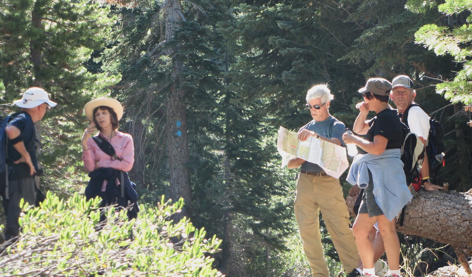
The current issue of Sactown Magazine featured an article about 10 great fall hikes near Sacramento. One of the featured hikes was the Valley Vista hike in picturesque Capay Valley.
Frank and I took advantage of another exceptional fall weather day and drove to Rumsey in Cache Creek Canyon to tackle this hike.
This is a double hind-kicker hike from the the very beginning. The trail switchbacks very steeply for 2 miles, ascending approximately 1800' to Rumsey Knob. The trail from the trailhead to the Knob is very well developed and marked.
We elected to continue another couple miles to Lookout Point Summit which added another 1000' of elevation gain. The trail from Rumsey Knob to the Summit was over-grown with chaparral and sketchy but there was enough trail to find our way to the top. The elevation at the summit is about 2266'.
The views of the surrounding ridges and valleys were quite spectacular from the ridge trail and high points.
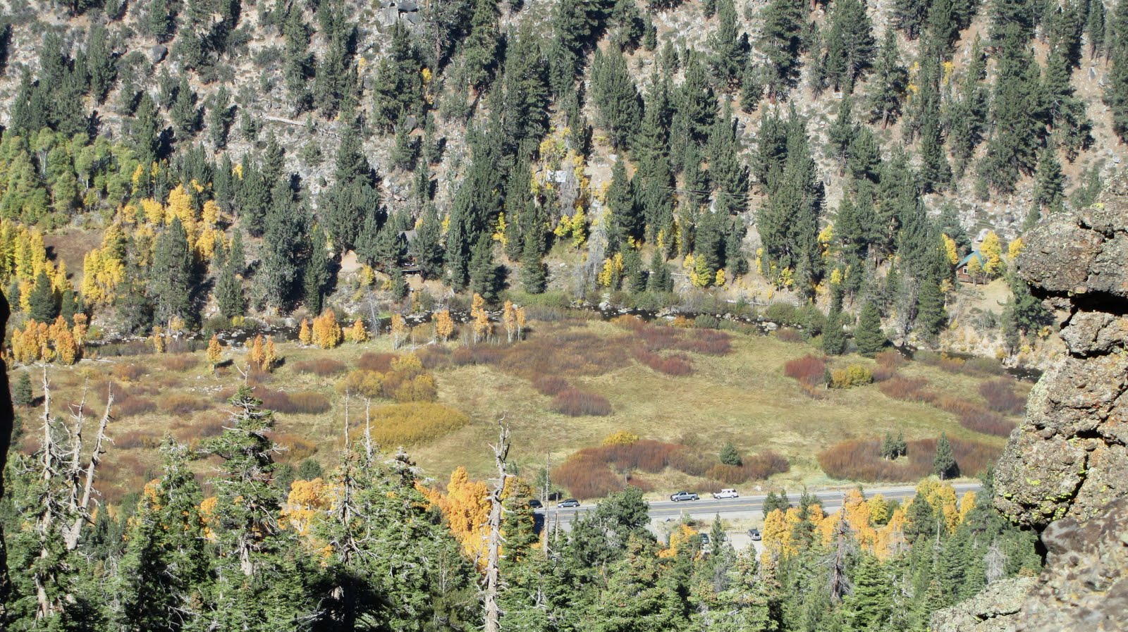
 The trailhead is located on Hwy 16 across the road from Camp Haswell on Cache Creek. There is plenty of parking space at the trailhead.
 As the switchback trail ascends, Cache Creek comes into view. Camp Haswell is located across Hwy 16 next to Cache Creek.
 It's a grunt for 1.7 miles to Rumsey Knob
 A great view of Cache Creek and Capay Valley. This why this trail is appropriately named Valley Vista.
 A birds-eye view of Rumsey Canyon from the Knob - Cache Creek and Hwy 16 below
 The view of farms along Cache Creek
 Beautiful oak woodland and riparian habitat along Cache Creek (above and below)
 On the top of Rumsey Knob is a "hitching post" for giraffes. We couldn't figure out what this was for.
 Man vs. Apple . . . taking a break at Rumsey Knob
 The view north of ridge across Cache Creek
 From Rumsey Knob, we continue another 2 miles to the top of Lookout Summit where I'm pointing. The trail from this point onward was overgrown and sketchy which required some bush-whacking through thick chaparral.
 The trail follows the tops of ridge
 Frank approaching the top on very steep pitch
 The view east
 Most of the terrain was chaparral with the exception of this bare spot with a stand of oaks
 The view of Capay Valley from the top of Summit Point at about 2266'
 At the summit is a cairn where we discovered a register under the rocks
 The view (south) of Blue Ridge Mountains
 Dead-man eating!
A laid-back lunch at the top of summit
 Two at the top
 Frank signing our names in the register. The last hikers listed on the register were here back in April indicating not too many people get this far.
 Descending on steep trail to our car parked near Cache Creek . . . our legs took a pounding
 A cruel joke!
A sign at base of mountain.
It was a tough hike and we were all smiles when it was over.
It was a tough hike and we were all smiles when it was over.